Things that I have learnt / discovered on this trip:
1. Mountains are hard.
2. To effectively climb mountains requires a good power to weight ratio. I have not enough power and too much weight to be competitive in this environment (Europe). I need to lose at least 5kg and increase my power threshold.
3. To ride mountains, get into the easiest gear as early as you need to (for me, when the gradient is higher than 6%). Start at a power level below threshold that you can maintain for 2 hours, and use your cadence to adjust your power output to remain within this level. Enjoy the scenery. You'll have plenty of time to look at it.
4. I still love Italy and the Italian attitude. Unconcerned with rules and authority yet steeped in tradition that would be unquestionable to violate. For example: pasta is a first course, not a main course. Early evening is for socialising and enjoying the day with a promenade or an Aperol Spritz and a light snack.
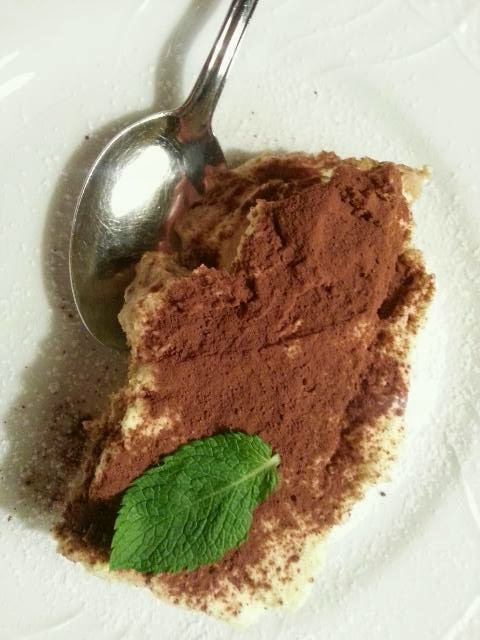
5. I love Italian food and could eat pasta twice a day without getting bored. I don't love French food. Too much cheese and cream. Not enough fresh fruit and vegetables.
6. I do love my bike and love riding. I like the social/community aspect of it most of all, then the freedom, and finally the sense of achievement and competition.
7. I love my family, friends and community.
New experiences on this trip:
i. Riding up and down four major mountains: Port du Bales (Pyrenees), Allez d'Huez, Passe della Herbe (Dolomites) and Mount Bondone. See (1) above.
ii. Representing Australia in an international event.
iii. Visiting France.
iv. Ticking off some more World Heritage sites: Albi, Avignon, Pont du Gard, Carcassonne, Roman amphitheatre in Orange and the Dolomites.
v. Racing 140km through rain and thunderstorms, riding 20km down a mountain while shivering uncontrollably and unable to feel my hands. Climbing my first mountain (and my second, third and fourth). And finishing fourth female. Thanks, Val d'Aran Cycling Tour. It was a challenge, a learning experience, humbling and character building.
vi. Adopting macciatto as my coffee of choice. It works in Italy where the coffee is good, but in Perth where the coffee is questionable ... Sometimes the extra milk and chocolate sprinkles are needed to disguise the flavour!
All in all, it has been a great experience. Not exactly a relaxing holiday, but a good break and an amazing experience.
Now to lose those extra couple of kilos, and get back into a training routine in Perth. I definitely want to do the UWCT again, but next time I want to be more competitive - in the middle of the bunch rather than at the end!